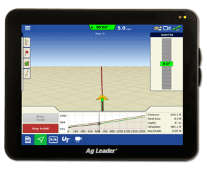
Mapping Tile Lines with GPS
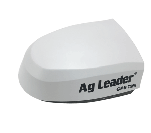
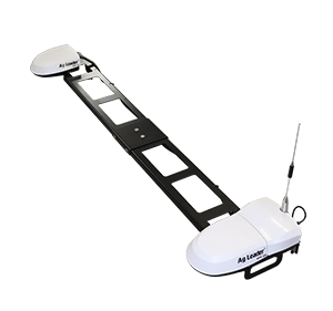
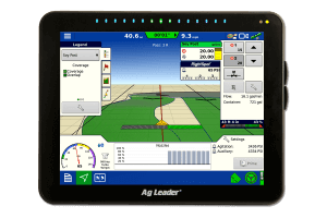
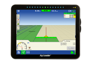
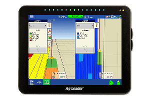
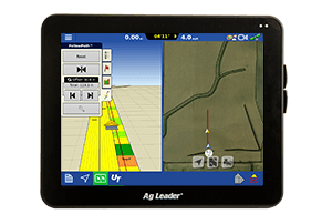
Now that the crops are out of the field and fall field work is beginning, it is time for those fortunate enough to have a problem with excess moisture to get in the field and start repairing and laying new tile. For those of you who have tiled fields in the past, you can likely draw upon at least a few memories of searching for an existing line with a probe to either repair or connect to that tile line. With today’s GPS technology, we have the tools at our disposal to make finding tile lines easier by mapping them when they are placed. We recommend using a repeatable GPS differential correction source to map your tile lines, either during or after a new line is placed. By using a repeatable correction source you will be able to go back to your tile lines in the future if needed. (For more information on differential correction sources, click here.)
When you are finished mapping your tile lines, you can then export your maps to a memory card for importing into your precision ag desktop software. If you would like to navigate back to these lines in the future, you can export this logged information to a product like SMS Mobile. As you can see, mapping data in the field, such as tile lines, can be a useful tool, especially when you will need to find those locations several years down the road.


